Western Avenue Better Bike Lanes
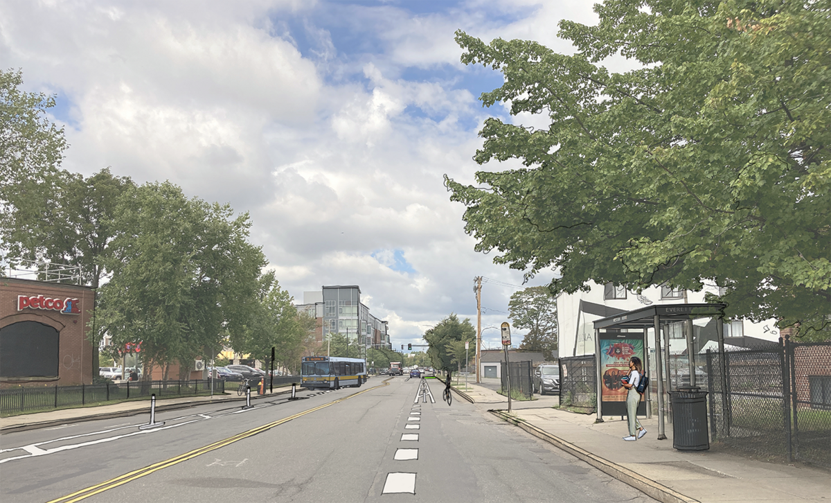
We're adding separated bike lanes on Western Avenue between Barry's Corner and Leo Birmingham Parkway.
The Boston Planning Department (formerly BPDA) launched the Western Avenue Corridor Study and Rezoning (adopted October 2022) to engage local stakeholders and community members in discussing the future of Western Avenue. Through those discussions, the community identified a near-term need to add separated bike lanes ahead of longer-term investments in a dedicated transitway along Western Avenue.
Construction Updates
Construction update 2025
We installed flexposts and lane markings for the separated bike lanes on Western Avenue between Leo Birmingham Parkway and North Harvard Street. We will resume installation of green bike lane markings and red bus lane markings in the Spring, or as warmer weather allows.
Week of December 2 UPDATES
- Flex-post installation scheduled. Cars parked within the bike lane are subject to fines and towing
Week of November 25 UPDATES
- Green bike lane markings and bike lane symbols is currently scheduled to begin installation the week of 12/2
- Flex-post installation will follow shortly after
Week of November 18 UPDATES
- We'll add striping for the separated bike lanes.
- Parking will be restricted from 8 p.m. to 4 a.m. to allow construction crews to complete striping work
Week of NOvember 11 updates
- We installed new signs
Design
We have illustrated the design plans for separated bike lanes between North Harvard Street and Leo Birmingham Parkway.
Design details
We're adding dedicated space on Western Avenue for people biking or rolling.
Design Summary
- Separated bike lanes marked with paint and flex-post
- Patch-paving repairs
- Intersection safety improvements at North Harvard Street and Western Avenue
Project Area
The project area includes Western Avenue from North Harvard Street to Leo Birmingham Parkway.
Why Western Avenue
This project was announced in September 2022, as part of Mayor Wu's bold plan to transform Boston's streets to make them safer for everyone. The installation of separated bike lanes between North Harvard Street and Leo Birmingham Parkway is part of an effort to expand our bike network so that more than 50% of residents will be within a 3-minute walk from a safe and connected bike route.
Building a local and regional bike connection
- Adding separated bike lanes on Western Avenue between North Harvard Street and Leo Birmingham is a critical link in an emerging bike network that serves people biking through Watertown, Cambridge, and Allston-Brighton and furthers regional multimodal mode shift goals.
- This project is a key link between planned and existing bike facilities across Allston-Brighton and neighboring municipalities, including those on Arsenal Street (Watertown), Western Ave (Cambridge), and the Paul Dudley White Bike Path.
- The Western Avenue Corridor Study and Rezoning contains more detailed information on the corridor’s role in the wider city and region.
High-crash corridor
- Western Avenue, between Leo Birmingham and North Harvard Street, is among the top 3% of streets in the City of Boston with the highest number of injury-causing crashes impacting people biking.
- We urgently need to provide safer accommodations for people riding bikes. By giving people rolling or biking designated space on the road separated from travel lanes, we can protect them from motor vehicles. Additionally, our tools for making streets safer for people biking and walking make them safer for all travelers.
Long-term vision
- The changes we’re making to Western Avenue are an interim condition to provide safe facilities for people biking ahead of designing a longer-term vision for this corridor, called for by the Western Avenue Corridor Study.
Community Engagement
Community EngagementConstruction notification postcards were mailed out to about 2,370 addresses in the vicinity of the project in September. We also posted flyers in the public right of way along the corridor in early September.
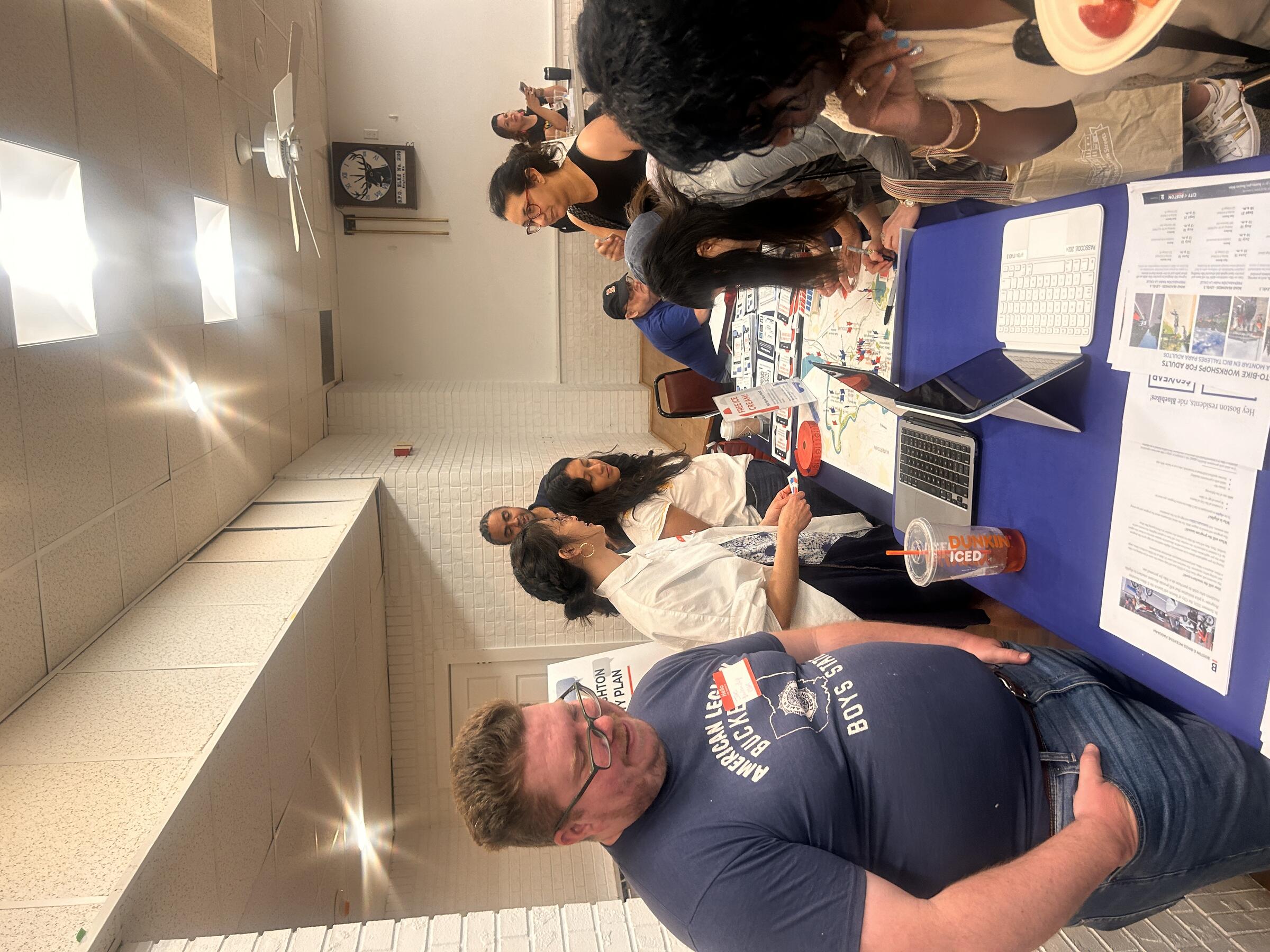
Staff joined colleagues from the Planning Department to talk to residents at the Allston-Brighton Health Collaborative Resource Fair
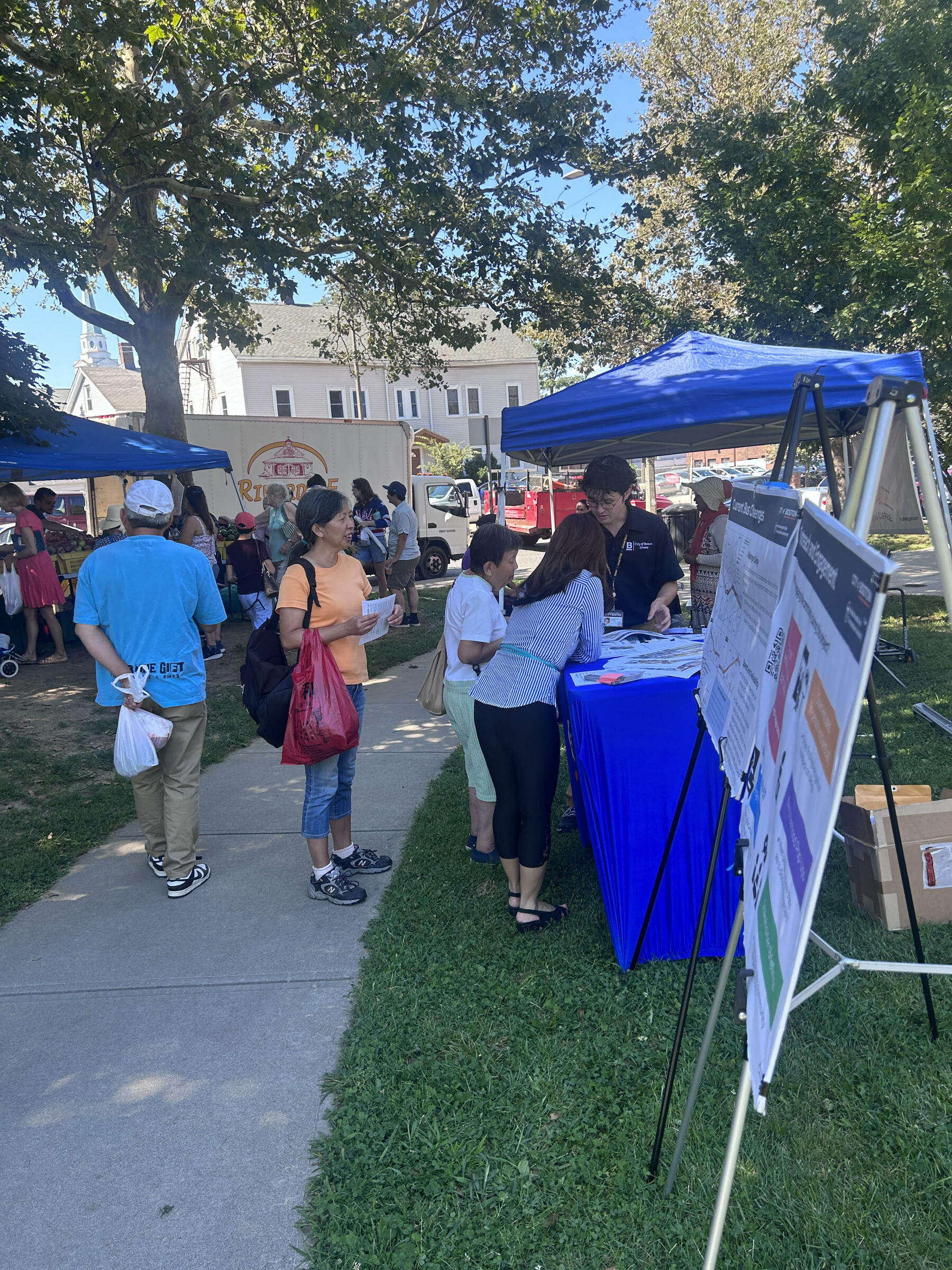
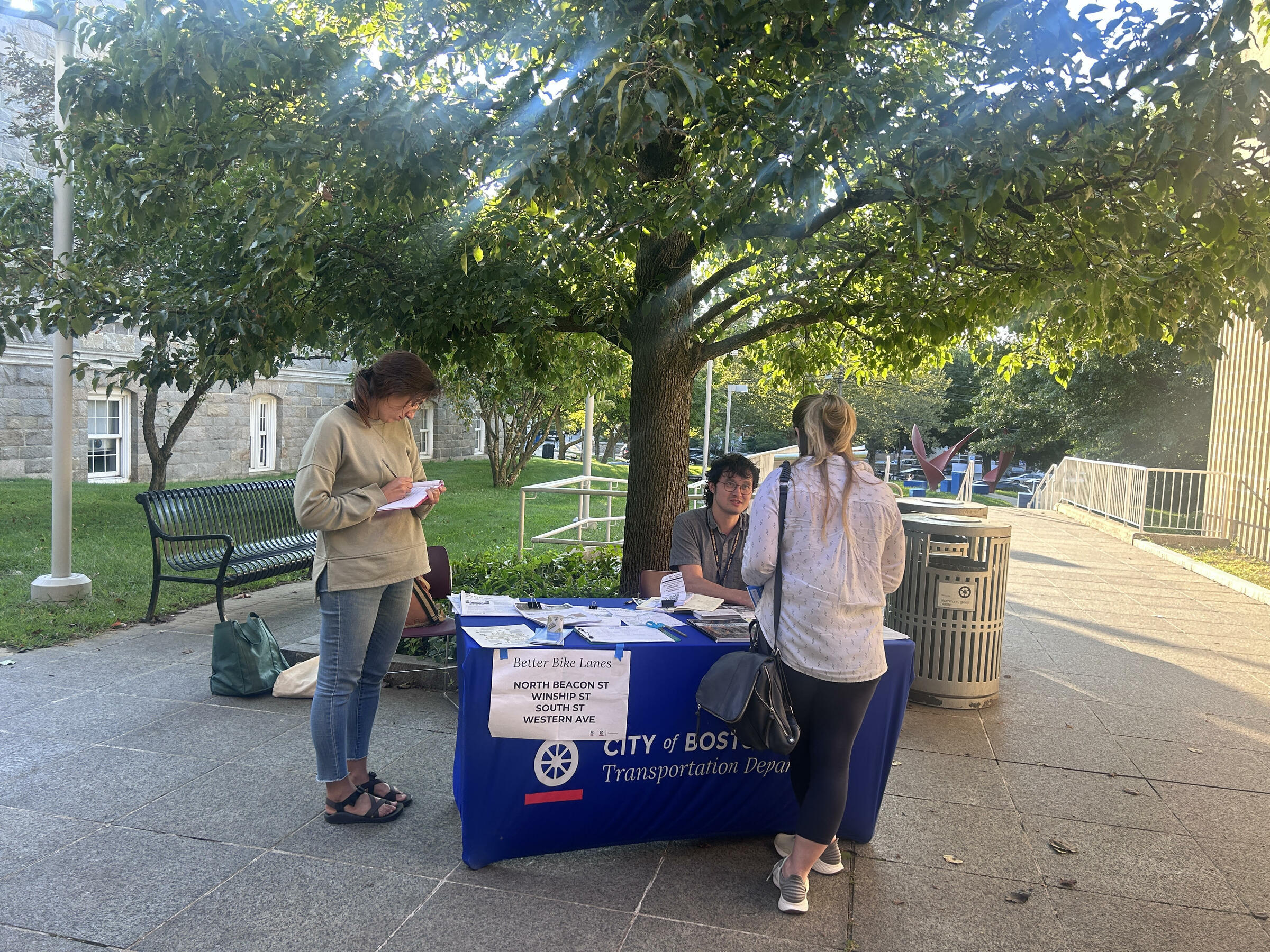
The project team tabled at farmers markets and libraries in the community to share information about key transportation projects aimed to build a safe connected bike network and multimodal access throughout Allston-Brighton, included the quick-build separated bike lane project on Western Avenue. We provided interpretation in Spanish, Mandarin, Cantonese, Portuguese, and Russian. We shared information about the design, answered questions, and recorded comments.
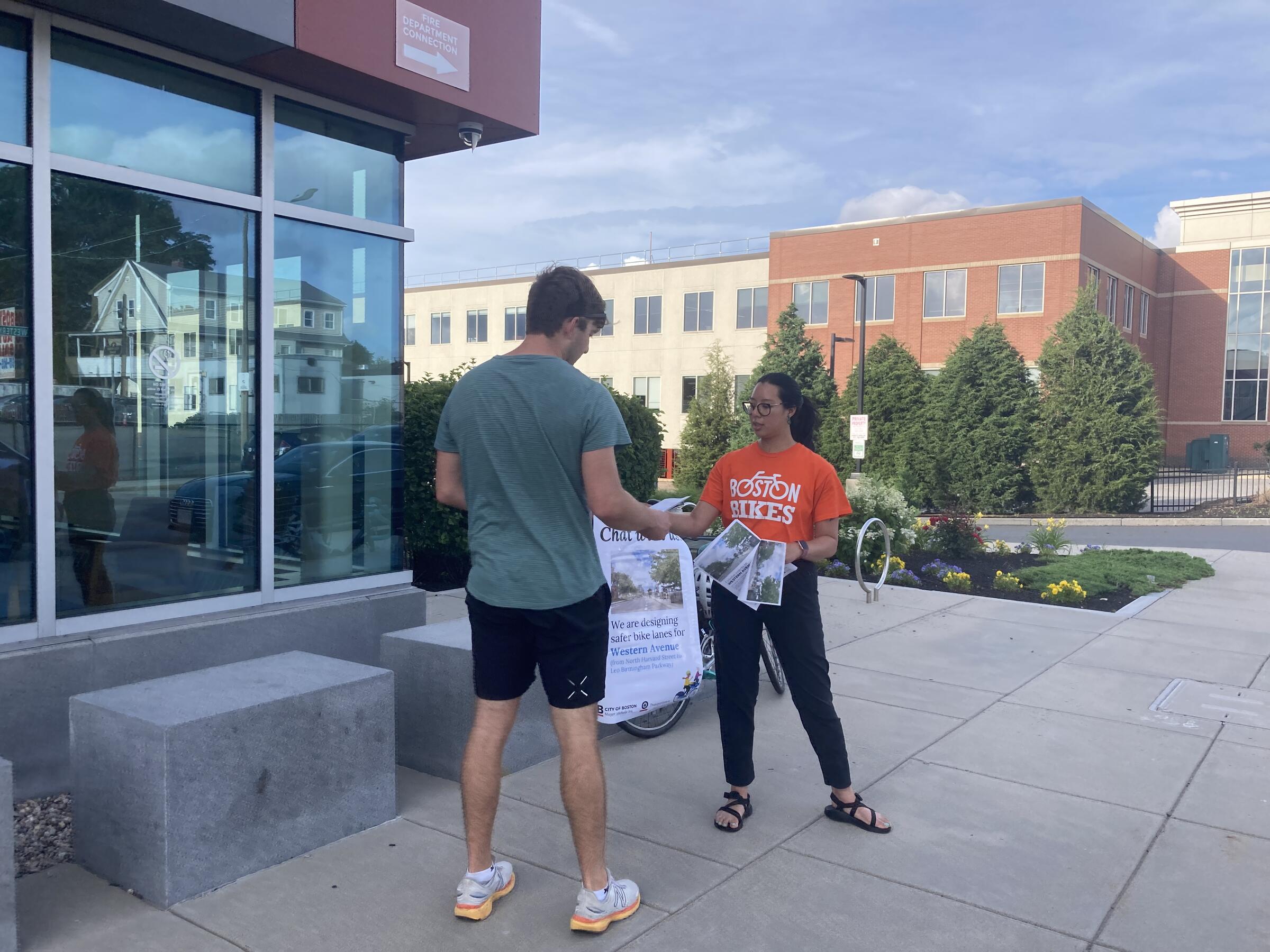
Through the summer and fall of 2023, staff spoke with neighbors and people passing by about the project. We shared information about the project and how to stay updated.
We hosted a virtual meeting with the Boston Planning and Development Agency to share updates about transportation projects happening in Allston-Brighton, including our Better Bike Lanes projects. In a breakout room, we shared our concept designs for Western Avenue, discussed our next steps for community engagement, and took your questions.
Download the presentation (English)
Neighborhood Context
There are other bike lane projects happening in Allston and Brighton this year. This is part of our work to quickly close gaps across the City in Boston's emerging network of low-stress bike routes.
Learn more about other projects in your neighborhood:
Common Questions
Common QuestionsThe Boston Planning Department (formerly BPDA) launched the Western Avenue Corridor Study and Rezoning (adopted October 2022) to engage local stakeholders in discussing the future of Western Avenue. Through those discussions, the community identified a near-term need to add separated bike lanes ahead of longer-term investments in a dedicated transitway along Western Avenue. Additionally, our design changes were influenced by community responses collected for the Allston-Brighton Mobility Plan (2021).
As part of the Western Avenue Corridor and Rezoning Study, new developments are required to provide wider setbacks. This means that the lot line of new developments must be further setback from the street to provide space for an enhanced streetscape, which includes a separated cycle track. You can learn more about new developments on Western Avenue at the Planning Department Development Projects & Plans website.
In order to install these important and needed safety improvements, parking will be restricted along the length of Western Avenue between Barry’s Corner and Leo Birmingham Parkway.
We prioritize pedestrian safety with every one of our projects. Accordingly, at intersections we are making necessary signal changes. Additionally, by giving bicyclists their own designated space on the road, we can encourage less sidewalk riding.
Construction notification postcards were mailed out to about 2,370 addresses in the vicinity of the project in September. We also posted flyers in the public right of way along the corridor in early September.
We are working with our contractor to schedule a construction start date. We aim to install design changes this fall (as early as October) as weather and contractor availability allows. Once a start date is determined, crews will post notices along the corridor. Please follow all posted signage. Sidewalks will remain open.
We expect work to happen in the following order: patch paving, striping, thermoplastic markings, signal work, flexpost installation, sign installation (including new curb regulation signage). This work may take 1-3 weeks to complete.
We appreciate your patience during and after construction. As with any street design change, we anticipate an adjustment period as users adapt to the new configuration.
Yes! Winship Street and North Beacon Street are also receiving better, safer, protected bike lanes.
Yes! We coordinate with the Department of Recreation and Conservation (DCR), City of Cambridge, and City of Watertown to design safer connections for people biking throughout the region. Learn more about related projects below:
City of Cambridge
City of Watertown
Arsenal Street - School Street to Arsenal Court
Arsenal Street - Arsenal Court to Greenough Boulevard
The Bluebikes station at Western Avenue at Richardson Street was removed to prepare for the installation of the Western Ave Better Bike Lanes project. We will look for an alternative site nearby in the coming months.
Additionally, in 2025, we plan to add up to 21 new stations to Allston-Brighton. We'll be launching a community process to get input - please join our email list to stay updated: boston.gov/bike-share-expansion.
Additionally, a new, permanent, off-street Bluebikes station will be located at 280 Western Avenue, as part of the NEXUS Allston project. In addition, new Bluebikes stations are included in the plans for 500 Western and 30 Leo Birmingham.
Related pages
Everyone Deserves Safe Streets
Our plan to transform Boston's streets for biking and walking in the next three years
Better Bike Lanes
Read more about our program to build a network of safe, connected, and comfortable bike lanes throughout Boston
Western Avenue Corridor Study and Rezoning
The study outlines recommendations for multi-modal improvements that support future land use, urban design, and public realm changes along the corridor.
North Beacon Street Better Bike Lane Project
We plan to install separated bike lanes on North Beacon Street between Everett Street and Vineland Street.
Winship Street
We will add a separated bike lane in the uphill direction, from Washington Street to Chestnut Hill Avenue.


